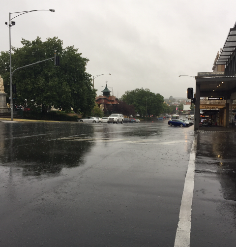
From late Wednesday cloud will be developing and continuing to build through Thursday
On Thursday, we’ll start to see some showers developing, pretty isolated in Ballarat at first, but tending more northern parts of the region through the afternoon and evening.
Less than 5 mils expected in the more northern parts on Thursday.
The Bureau of Meteorology’s Miriam Bradbury says heavier totals will kick off on Friday locally.
“Into Friday, the showers and storms become more widespread and scattered across South Western Victoria.
Because storms are a risk on Friday in particular, we could see some heavier falls pushing that 25 millimetre mark.”
Bradbury says we’ll then see a break on Saturday in our region, but rain will be ramping up again on Sunday.
“On Sunday, a follow up system is going to move through which is going to re-intensify that rainfall and bring another 10-15 mils, with more rainfall next week.”
While a deluge is not imminent, she warns those in areas with already sodden ground.
“While it’s difficult to say where the highest falls will be, areas on and north of the ranges of Victoria are looking at higher totals.
Across the Ballarat area generally speaking more moderate falls are on the cards. However, the ground is very saturated in the area and some flooding is possible particularly towards the end of the week” said Bradbury.


